DoD Mission-Sensitive Species
DoD Partners in Flight has identified several bird species that occur on DoD installations that have the highest potential to impact the military mission should they become Federally listed under the Endangered Species Act, termed Mission-Sensitive Species (MSS).
The DoD AKN Program is in the process of translating standardized protocols and monitoring guidance into the AKN system for each of these species. Click on the Mission-Sensitive Species of interest below for more information:

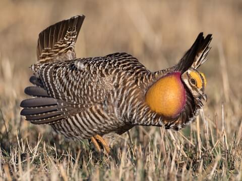
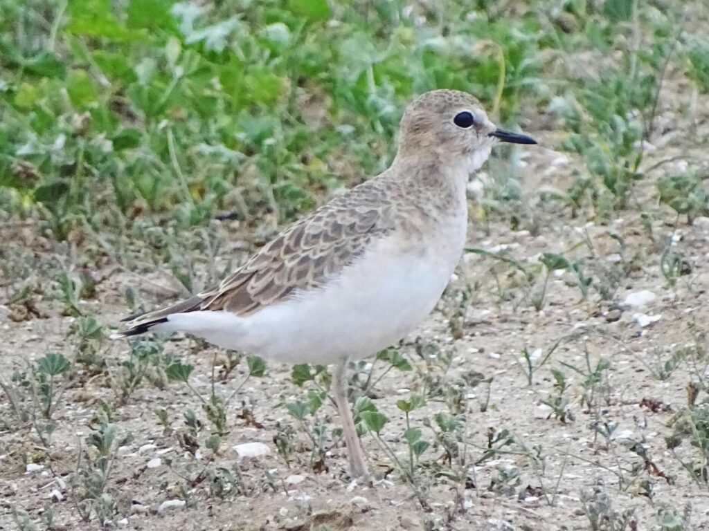

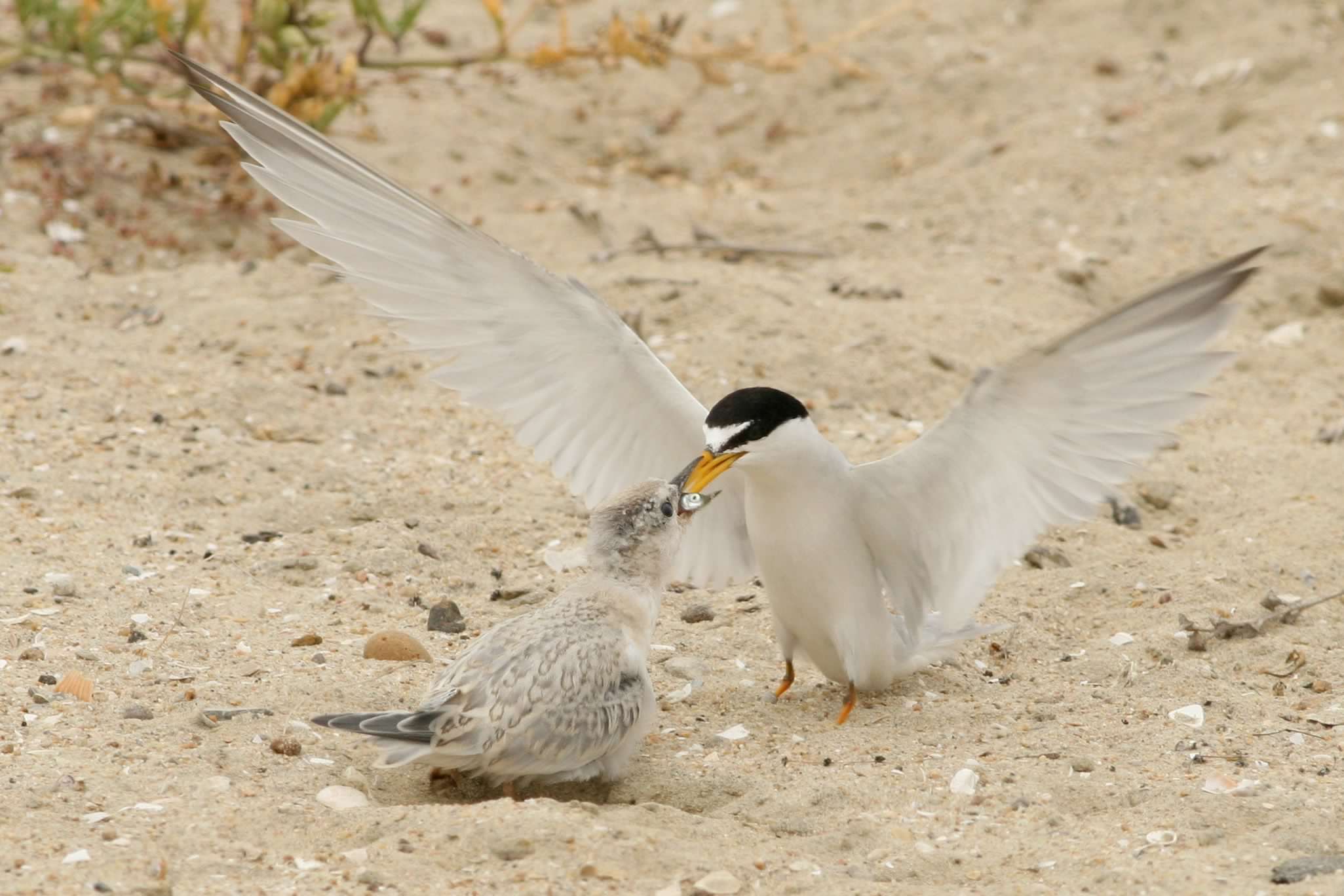
(Atlantic Coast Population)

Kestrel
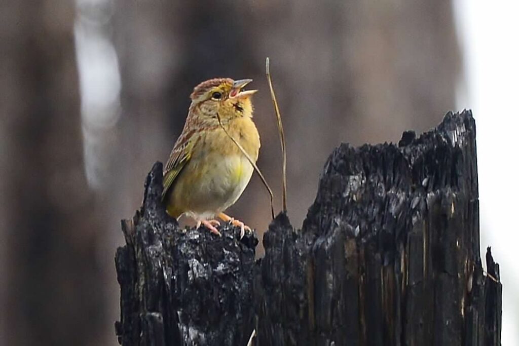

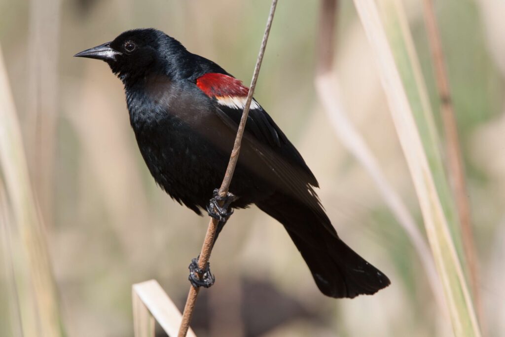
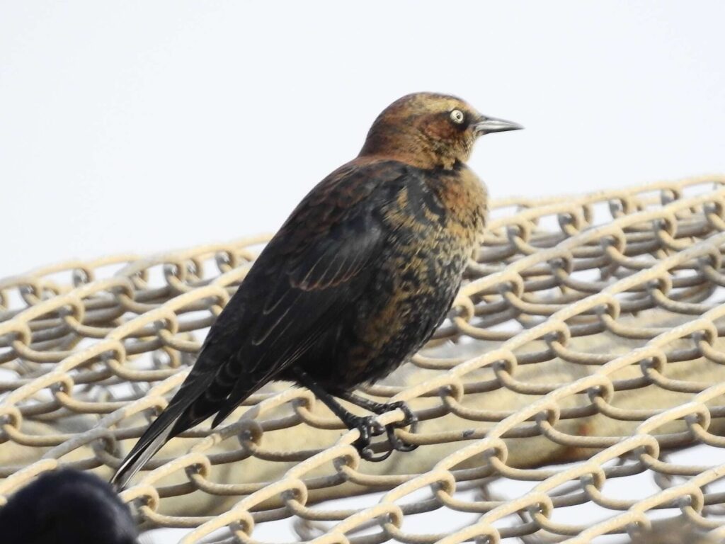
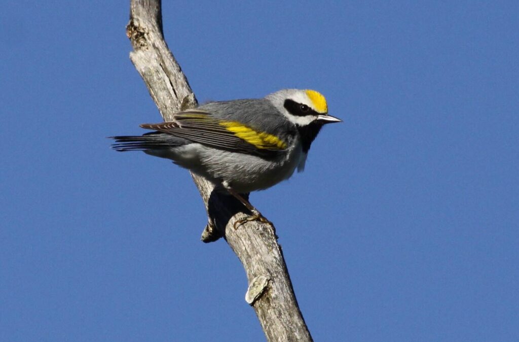

See the DoD PIF MSS page for the most updated MSS list
Pinyon Jay
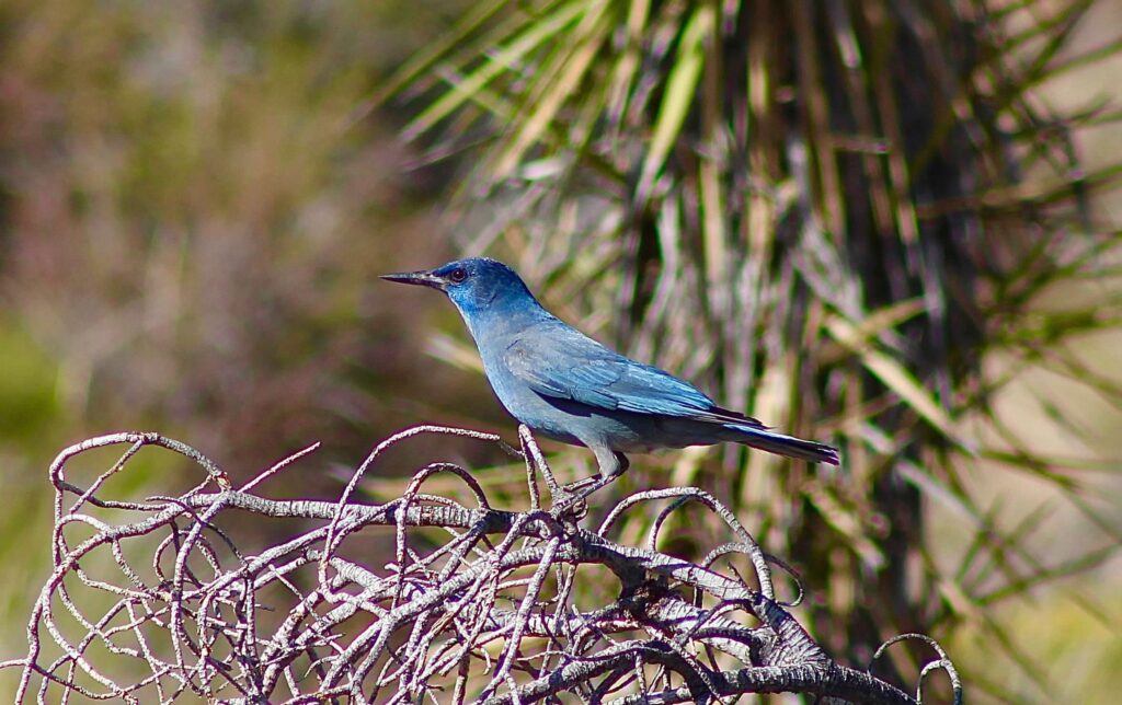
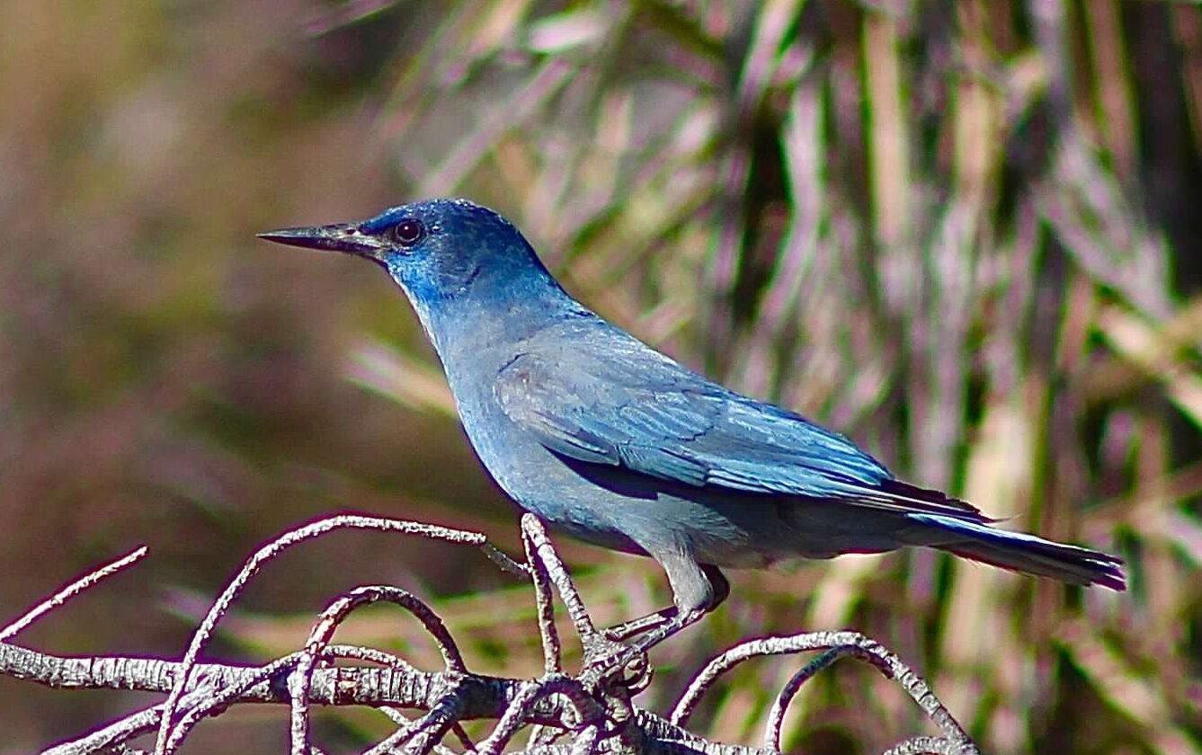
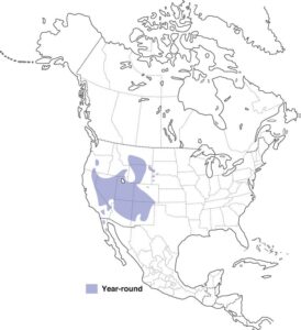
The Pinyon Jay (Gymnorhinus cyanocephalus) is an obligate bird of pinyon-juniper and other pine-juniper woodlands that has experienced significant population declines and is of increasing conservation concern. Data from the North American Breeding Bird Survey (BBS) suggest that Pinyon Jays have experiences an overall population loss of approximately 83.5% from 1967-2015 and an estimated additional 50% loss from 2016 to 2035 (the so-called population “half-life”).
The DoD AKN Program has been working with the Partners in Flight Pinyon Jay Working Group (PJWG) as they finalize the Survey Protocol for Landscape Applications. The PJWG has developed field sampling methods to promote and facilitate the collection of standardized and biologically relevant data about Pinyon Jays across its range.
Are you one of the at least 17 DoD installations that have confirmed Pinyon Jay occurrences? Are you unsure about occurrence but want to start monitoring for the species? See below for recommendations for standardized survey methods to use on your installation.
Survey and Monitoring Methods
Which survey method should I use? Take a look at the table below to compare various survey methods available.
| Method Feature | PJWG Area Search Protocol | Road-Based Point Count Protocol |
|---|---|---|
| Survey type | Area Search | Point Count |
| Pedestrian or Road-based | Pedestrian | Road-based |
| Can be used for rapid assessment of large areas | No | Yes |
| Suitable for site clearances (i.e., <2500ha) | No1 | No |
| Sampling Effort | 3-4 hours per plot | 1 hour per plot (assuming five 6-minute point counts+drive time) |
| Repeat visits within a season recommended | Yes | Yes |
| Suitable for identifying nesting colony sites | Yes | Possible (with additional pedestrian surveys off-road) |
| Suitable for surveys in areas where access is limited to roads (e.g., Impact Areas) | No | Yes |
| Can be used to monitor population trends | Yes, with caveats | Yes, with caveats |
| Data contributes to greater PJWG landscape-scale study | Yes | Possible2 |
| Protocol suitable for AKN | Yes | Yes |
1For small-scale project applications (<2,500ha), see forthcoming “Project Level Application” protocol from the PJWG
2The PJWG plans to initiate discussions in 2023 aimed at producing a coordinated monitoring design utilizing the area search protocol but have not ruled out incorporation of other data sources.
- DoD PIF Mission-Sensitive Species
- PIF Yellow Watch List
- Species of Greatest Conservation Need in most SWAPs across its range
PJWG Area Search Survey Protocol – for Landscape Applications
This Survey Protocol, created by the Pinyon Jay Working Group, describes how to collect standardized Pinyon Jay data for larger-scale applications that require a sampling approach.
Full Written Survey Methods (PJWG): Pinyon Jay Survey Protocols for Landscape Applications
AKN Sampling Protocol Definition (“ARSE_PIJA”): Area Search + Site Conditions
Road-based Point Count Protocol
The road-based point count survey is a useful method of surveying for Pinyon Jays as an alternative to the PJWG area search survey protocol above where accessibility is limited to road travel-only (e.g., Impact Areas) or where whole area searches are infeasible or not needed.
Full Written Survey Protocol: A Survey Protocol for Pinyon Jay Road-based Point Count Surveys
AKN Sampling Protocol Definition (“PIJA_6min”): Road-based Point Count
Survey Method for Project Level Application (PJWG)
The PJWG is developing a second Survey Protocol to use in and around smaller project/management areas that can be completely surveyed (<2500 ha).
Anticipated late 2024, visit the PJWG Website for the most recent information
In April 2024, Caitlyn Gillespie (KBO, DoD AKN Program Team) presented to the Pinyon Jay Working Group giving step-by-step instructions to utilizing the PIJA data entry Protocols in your AKN Project. The recording of that presentation is included below:
Burrowing Owl
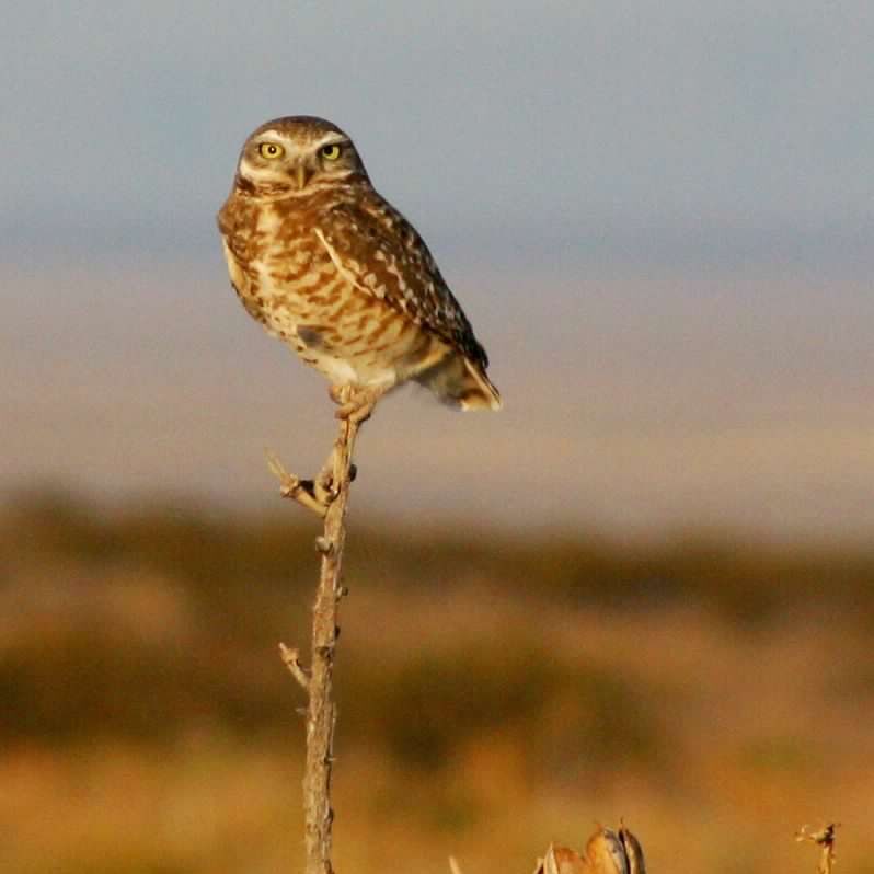
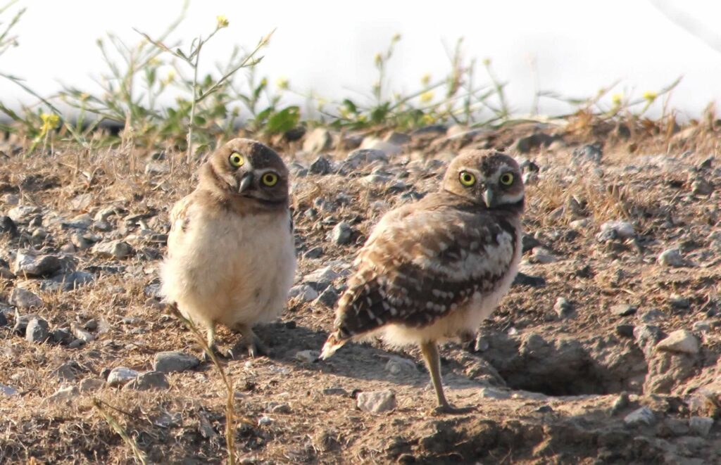
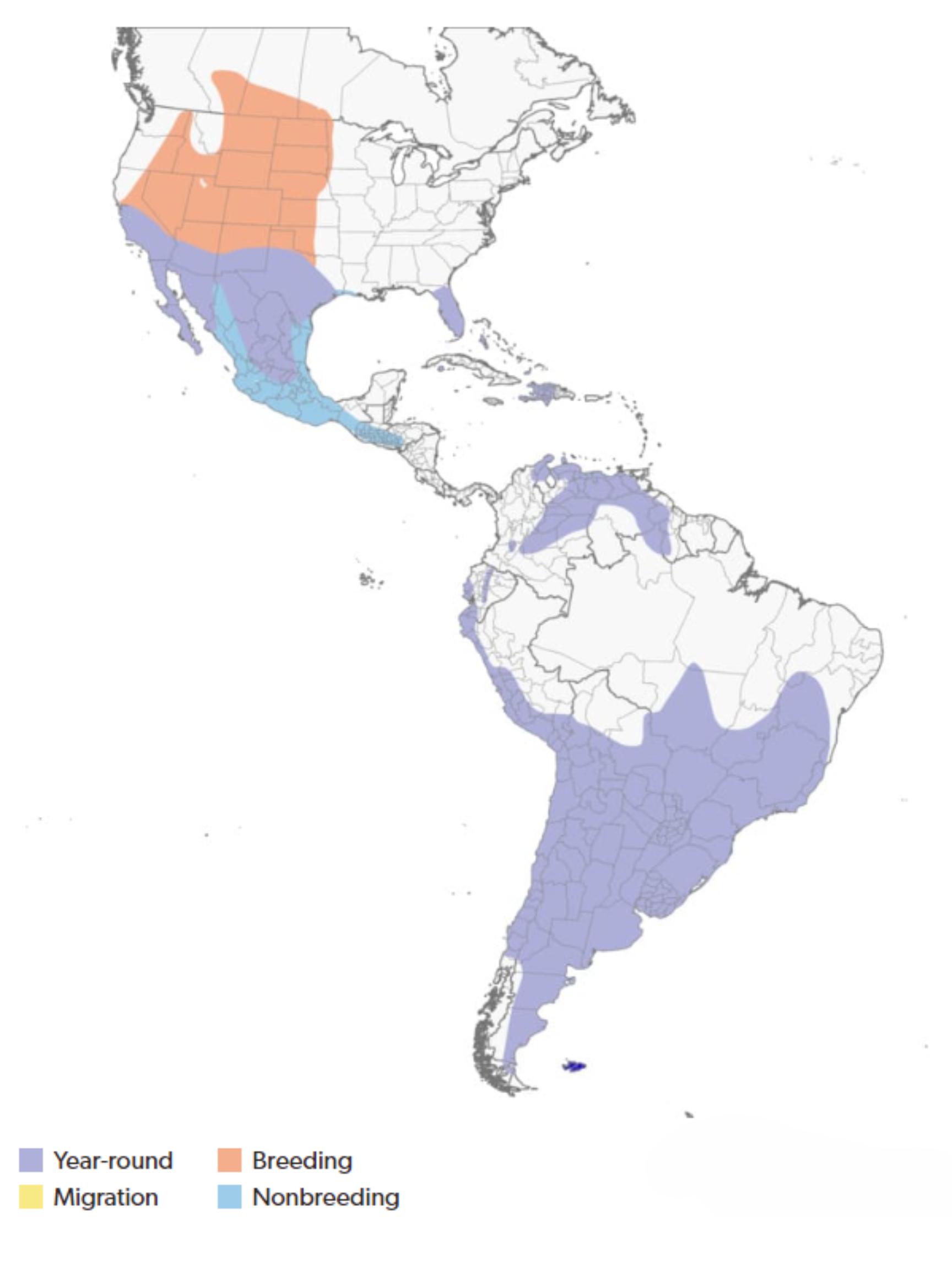
Burrowing Owl (Athene cunicularia) is a small, long-legged owl that nest underground in burrows. were once a common breeder in grasslands and deserts throughout the western U.S. and Canada. Burrowing Owl populations have declined, and the species has been extirpated from areas on the western, northern, and eastern periphery of their breeding range.
Due to sharp declines in availability of suitable habitat in recent decades, DoD PIF have identified the Burrowing Owl as a Mission-Sensitive Species. Improved monitoring, research, and pro-active management of Burrowing Owls on DoD lands is vital to supporting the military mission. These actions will help identify the management role of DoD for conserving Burrowing Owls nesting in the region, potentially help prevent further listing efforts, and provide information on risk and frequency of bird strike hazards.
According to DoD PIF, an estimated minimum of 50 military installations have recorded the species, and over 300 military installations are located within the species’ range.
Survey and Monitoring Methods
To support using the best available science to aid in planning and prioritization of monitoring and management of Burrowing Owls on DoD installations, one of the goals of DoD AKN Mission-Sensitive Species Initiative includes recommending standardized monitoring protocols for future monitoring, including providing support for data entry and management in the AKN.
The document linked below was developed by a focus group of subject matter experts from within and outside of DoD to assist biologists in applying standard monitoring protocols for Burrowing Owl monitoring at DoD installations. This document includes recommendations of objective-driven field methods including detailed background, considerations, and sample datasheets.
- DoD PIF Mission-Sensitive Species
- IUCN Red List (Vulnerable)
- PIF Red Watch List
- Species of Greatest Conservation Need in most SWAPs across its range
AKN Data Entry Protocols
Use the above document to determine which sampling methodology is most appropriate for your installation and data needs. Below are some quick links to the AKN Data Entry Protocols (i.e., sampling protocol) described in the document:
| Survey Type | AKN Sampling Protocol |
|---|---|
| Point Count | BUOW_6_1TB_4DB_Age_Burrow |
| Area Search | AS_BUOW_Age_Burrow |
| Site Condition (Followup Burrow Checks) | BUOW_BurrowCheck |
Bendire’s Thrasher
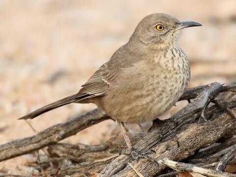
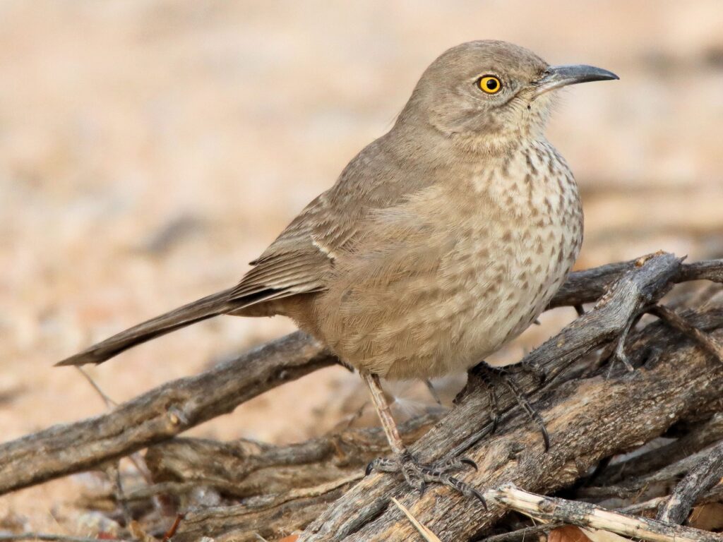
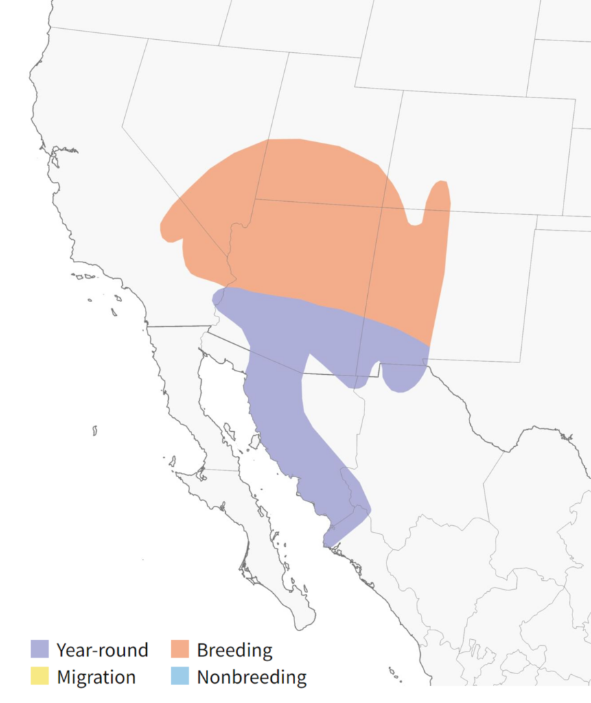
Bendire’s Thrasher (Toxostoma bendirei) is medium-sized thrasher native to the southwestern United States and northwestern Mexico. Due to sharp declines in availability of suitable habitat in recent decades, Bendire’s Thrashers are species of increasing conservation concern. Partners in Flight (2019) currently estimate that the species could undergo a 50% population reduction across the next 18 years and that the current rate of annual decline is ~4.3%.
The Desert Thrasher Working Group (DTWG) has developed field sampling methods to promote and facilitate the collection of standardized and biologically relevant data about Bendire’s Thrasher (as well as LeConte’s Thrasher and Loggerhead Shrike) across its range.
According to DoD PIF, an estimated minimum of 41 military installations are located within the species’ range. Do you have confirmed occurrence or are unsure about occurrence and want to start monitoring for the species on your installation? See below for the recommended DTWG standardized field sampling method to use on your installation.
Survey and Monitoring Methods
The DTWG developed standardized area search field survey and habitat evaluation methodologies to estimate distribution, determine population trends over time, and to identify habitat preferences for Bendire’s and LeConte’s Thrashers. Below you will find the AKN Sampling Protocol to be used with this field sampling method.
Visit the Desert Thrasher Working Group (DTWG) webpage for additional resources, including field data forms, habitat evaluation forms, and a Thrasher identification chart.
In late 2024, the DTWG posted the Conservation Strategy for Bendire’s and LeConte’s Thrashers on the Borderlands Avian Data Center website. The Conservation Strategy outlines current knowledge, data gaps, and threats affecting LeConte’s and Bendire’s Thrashers, and provides recommended management practices to support their recovery. It aims for a 10% population increase over 10 years for both species and seeks to define Bendire’s Thrasher habitat needs. The plan will be updated as new information becomes available and addresses shared and species-specific conservation needs.
- DoD PIF Mission-Sensitive Species
- IUCN Red List (Vulnerable)
- PIF Red Watch List
- Species of Greatest Conservation Need in most SWAPs across its range
Bendire’s Thrasher Survey Method and AKN Sampling Protocols
Full Written Survey Protocol: Survey Protocol and Habitat Evaluation for LeConte’s (Toxostoma lecontei) and Bendire’s Thrasher (Toxostoma bendirei)
AKN Sampling Protocol Definitions
- If you are only recording Bendire’s Thrasher, LeConte’s Thrasher, and Loggerhead Shrike (“AREASEARCH_CPNMM_THRASHERSHRIKE”): DTWG AKN Protocol (Focus Species Only)
- If you record all species (“AREASEARCH”): DTWG AKN Protocol (ALL Species Recorded)
More species profiles COMING SOON!
Questions? Contact the DoD AKN Team at DoDAKN@erdc.dren.mil